 Sign-in
Your Points- 0

Social Share Button
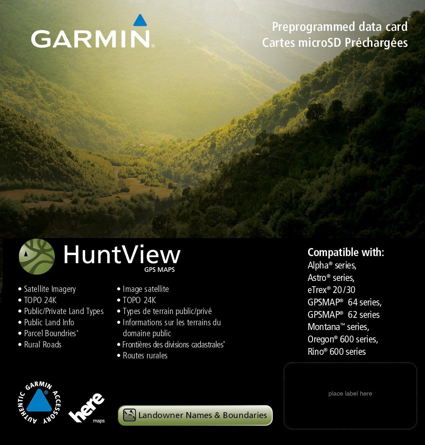
garmin 010-12516-01 huntview map card - wisconsin
Sold By Mac Marvel's
a Kmart Marketplace seller
$108.74striked off
$86.93 Save - $21.81 (20%)
Product Availability

Shop Marketplace with confidence
All marketplace sales are backed by our Kmart Marketplace Guarantee. Get the product you ordered, when you expect it, or get your money back. Original shipping included. Limitations apply. Learn moreView full description
Item# : SPM18404616504
Model # : RNAB073V86PVR

WARNING : Cancer and Reproductive Harm - www.p65warnings.ca.gov
Customer Reviews